This category focuses on providing visual and progress documentation for property, construction, and land development.
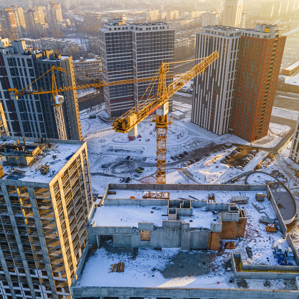
New Apartment Construction — Progress Tracking
When you’re juggling subs, schedules, and inspections, it’s easy for details to slip through the cracks. Our drone flights give you a clear, date-stamped view of your project foundations, framing, utilities, rooflines, all of it. You’ll know exactly where crews stand without driving across town.
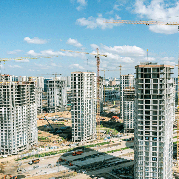
New Construction Near Me — Site Development Overviews
Whether it’s a subdivision or a single commercial build, we capture overhead views that help teams coordinate grading, drainage, and staging. It’s the fastest way to spot delays before they become costly.
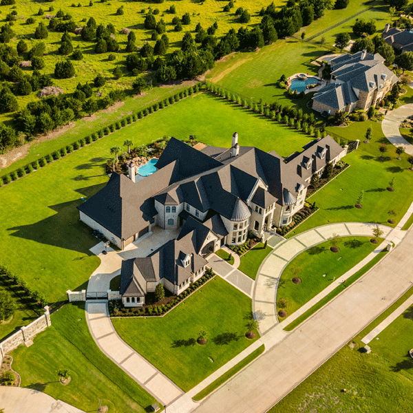
Real Estate Marketing — Inside & Out
Buyers aren’t impressed by shaky phone videos. We produce clean interior footage and smooth exterior flyovers that make your listing feel polished and spacious. Natural lighting, steady motion, and angles that help people picture themselves inside.
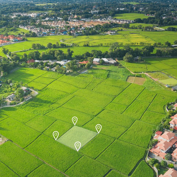
Land Development Survey
Before heavy equipment rolls in, we map the land so you can see slopes, boundaries, and elevation changes. Clear visuals now mean fewer surprises later.
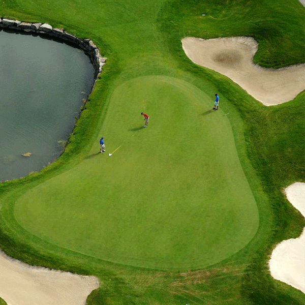
Golf Course Mapping
Golf course managers use our aerial imagery to track turf health, irrigation issues, bunker erosion, and layout changes. It’s also great for marketing; nothing sells a course like a perfectly framed aerial shot of the 18th.