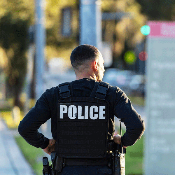
This highlights the services crucial for immediate response, security, and disaster management.
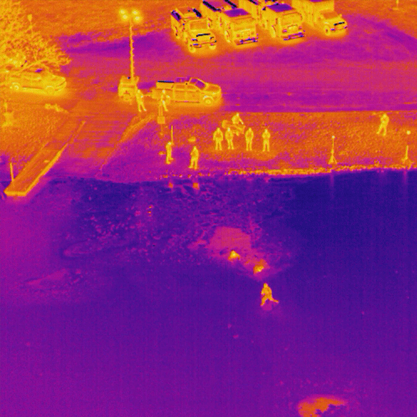
Thermal sensors help identify heat signatures in dense woods, fields, flood zones, and disaster areas. Faster searches, safer operations.
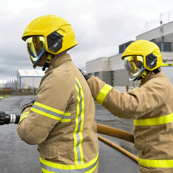
We provide overhead views so crews can track hotspots, wind patterns, and fire spread without endangering anyone.
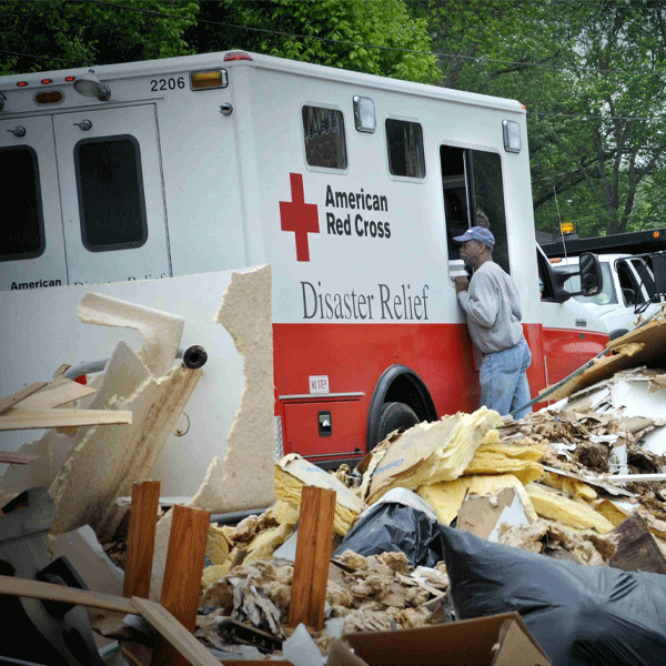
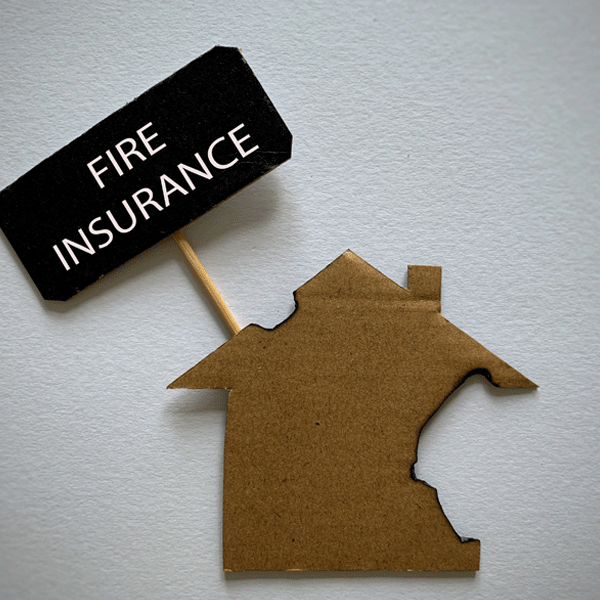
After storms or fires, we document destruction quickly so recovery teams know where to start.
High-resolution images and angle adjusters can’t argue with. Useful for homes, facilities, and commercial buildings.
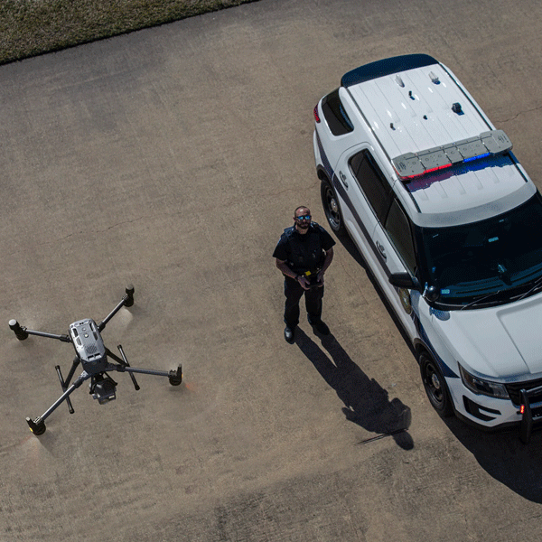
Perimeter sweeps, traffic control views, crowd monitoring, and situational awareness from above.
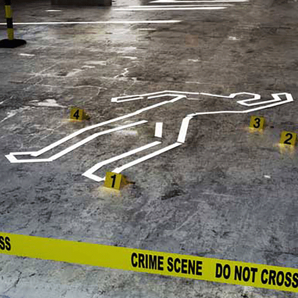
We create overhead maps that help investigators document scenes cleanly before weather or activity disturbs evidence.
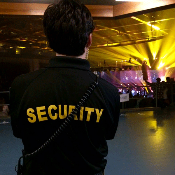
Concerts, festivals, parades, and drones help security teams monitor movement, bottlenecks, and safety risks.