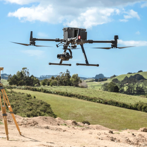
This category groups the precision services used for planning, mapping, and managing natural and geological resources.
Surveying & Mapping
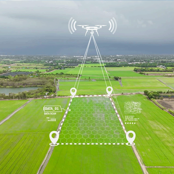
We create accurate maps, orthomosaics, elevation models, and contours that help everyone from builders to planners understand the land before breaking ground.
Highway Surveys
Perfect for DOT teams and engineering firms. We cover long stretches quickly, showing traffic flow, shoulder conditions, drainage paths, and surface wear.
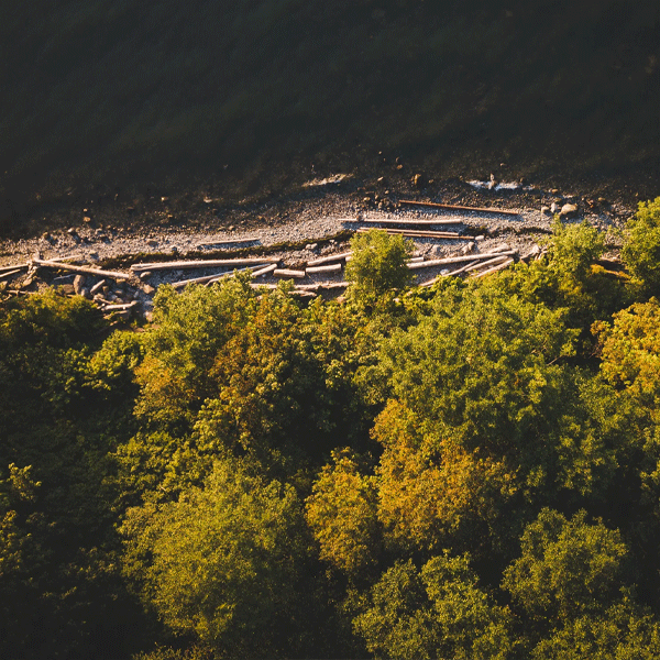
Geological Surveys
From soil shifts to erosion patterns, we capture high-detail imagery that supports geological studies and land-use planning.
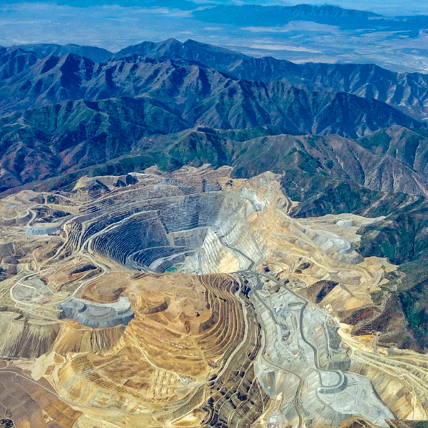
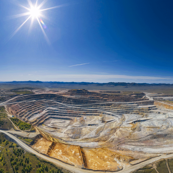
Mining Sites
Stockpile volumes, pit progression, haul road conditions, we help mines track production without shutting down operations.
Stockpile Photography
Quick aerial scans that give you accurate volume calculations. No climbing piles. No guesswork.
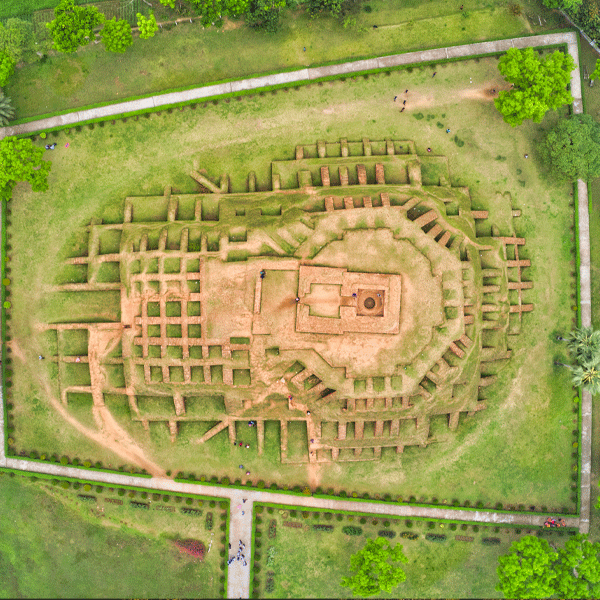
Archaeological Surveys
Drones reveal patterns, shapes, and historical site outlines that aren’t visible from ground level, making them ideal for teams protecting sensitive areas.
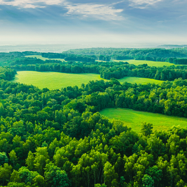
Forest Management
Track tree health, canopy density, wildlife patterns, and storm damage. Aerial data helps agencies make smarter decisions with less field time.